Pendle’s Hidden Valley Project – 18th February 2017 – Portfield
Alex Whitlock
This month’s fieldwalk was centred on the key feature of the western end of the Sabden Valley – Portfield. The site is private property and not open to the public so we are most thankful to the owners for their kind permission to visit. Portfield is a nationally important monument. Historic Englands record of it (List entry Number: 1013608 – accessed 18 Feb 2017) states;
“Portfield hillfort is a rare example in north west England of a slight univallate hillfort which was subsequently modified at a later date into a small multivallate hillfort. Limited excavations undertaken between the 1950s and 1970s found artefactual evidence which demonstrates that the area occupied by the monument was used from Neolithic times to medieval times, and further evidence of the nature of the settlement at the hillfort will exist.”

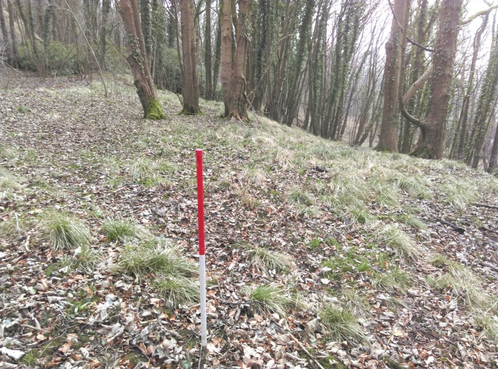
Planes Wood platform edge
We commenced our exploration in Planes Wood which lies below Portfield and alongside the A671. The trees in the wood are comparatively young but it contains plant species regarded as ancient woodland indicators. It also contains a series of platforms (see picture above) that may be artificial and could relate to the enclosed area higher up. From the wood we worked our way onto the prehistoric site that comprises Portfield. Once there we took advantage of the lack of leaves to take in the vistas that would have been afforded to the ancient occupants. For such a low elevation the views are surprisingly distant and the site’s strategic importance becomes more apparent.

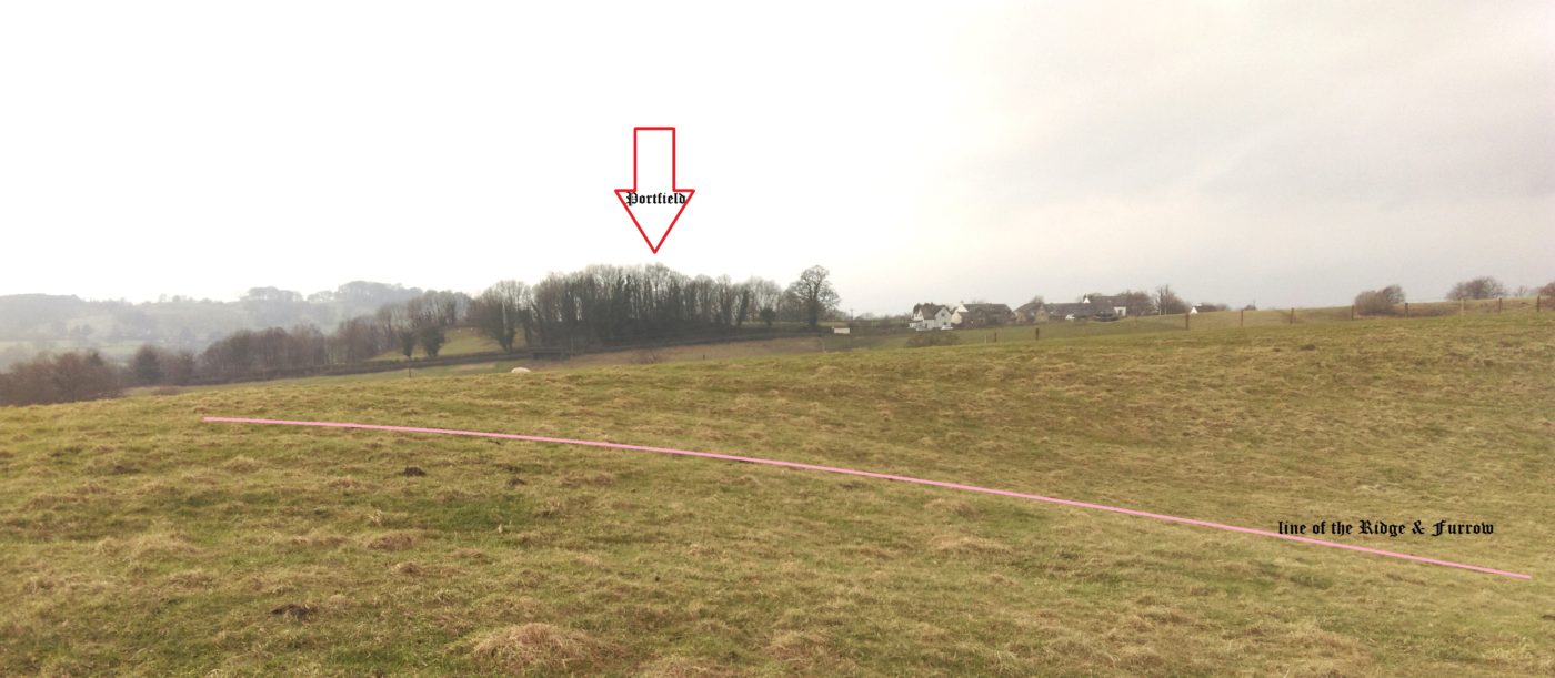
View back to Portfield (arrow) showing the ridge & furrow (pink line) in the pit
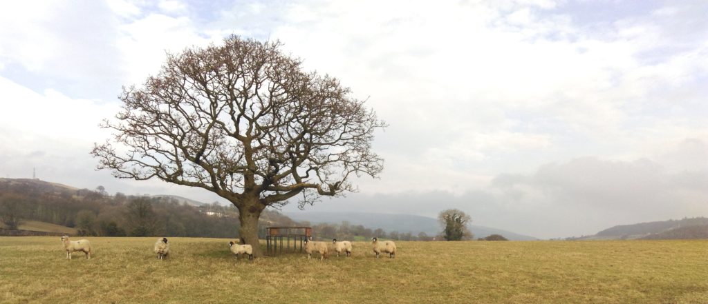
Leaving Portfield we followed a public footpath toward Read Old Bridge in order to look more closely at some features we had spotted on one of the early survey fieldwalks in January 2014. There is evidence of ancient track ways and older field patterns in the area. A solitary oak (see below) stands in a large field, marking one of a series of field boundaries that were gone by the time Victoria was crowned. There is also evidence of much earlier, possibly pre-monastic, activity. One feature left us a little gob smacked. On the summit of the hill north of Easterly farm is a huge crater. It doesn’t look right for a quarry but it could be a sand or marl pit. Whatever it is, it has some age to it as there is old ridge and furrow running through it (see above). This landscape lies in within an area whose early inhabitants must have had a connection with Portfield.
If you would like to connect with the area’s past, please come and join us. Information on membership of the Friends and about forthcoming activities can be found at https://www.foph.co.uk/whatson/

from above Easterly looking North Easterly up the valley
(All images by permission of A.Whitlock – All Rights Reserved)
GLOSSARY
univallate hillfort – A prehistoric enclosure surrounded by one rampart
multivallate hillfort – A prehistoric enclosure surrounded by two or more ramparts